ContactChris Robideau Client/ReferenceDan Lozar, P.E. LocationPablo, MT |
||
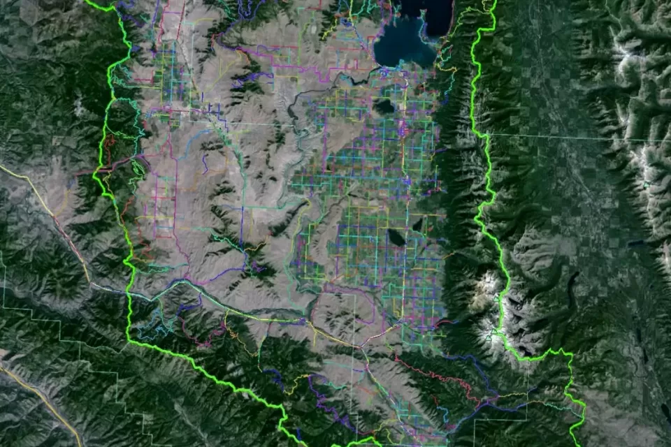
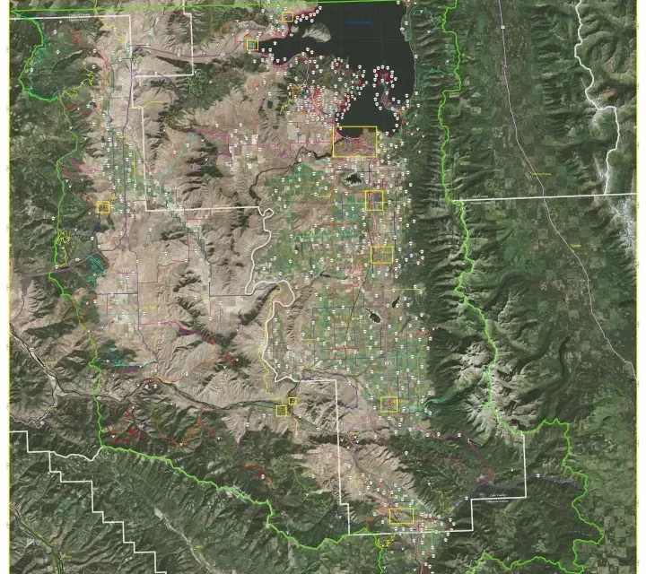
Project DescriptionThe RPP GIS mapping team performed roadway conditions assessment and field data collection of 1,950.4 miles of transportation system facilities in support of the Tribal Transportation Department’s asset management planning. The project included the reconciliation of duplicate route records from two previous update efforts within the BIA’s RIFDS Database. Overall transportation system maps were generated along all RIFDS requirements including Strip Maps, Cover Maps, Memorandum of Understandings, Tribal Resolutions, Photos, Traffic Count ADT documentation, Route Narratives, and the LRTP Addendum. All deliverables we managed in the latest ArcMap software and a user-friendly Google Earth KMZ. |
Services Provided |
|

