ContactChris Robideau Client/ReferenceRoyce Gchachu Location |
||
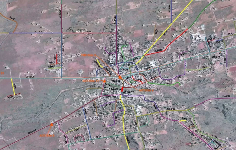
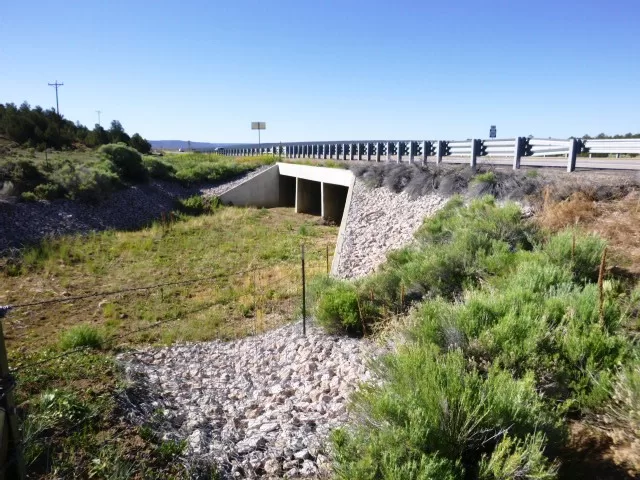
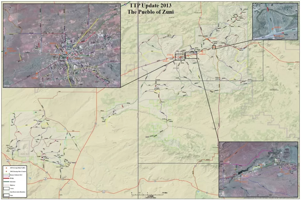
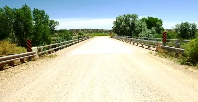
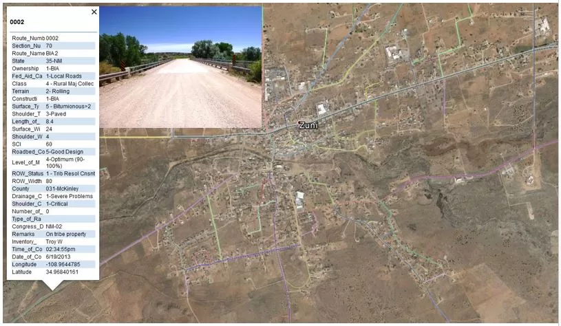
Project DescriptionThe RPP GIS mapping team performed roadway conditions assessment and field data collection of 667.5 miles of transportation system facilities in support of the Tribal Transportation Department’s asset management planning. The project includes manual turning movement counts at strategic intersection along with the collection of average daily traffic volumes. RPP’s pneumatic traffic counters collected vehicle classification, gap, and speed data in support of the mapping project. Overall transportation system maps were generated along with detailed condition maps per route to later support the Zuni Pueblo’s Tribal Transportation Improvement Program and Roadway Inventory Update. Surface Condition Index Rating with digital photography verified the mapping and field condition assessments. A complete GIS deliverable was provided to the Tribe in both the latest Arc Map Software and as as user-friendly Google Earth KMZ System. |
Services Provided |
|

